
What a Topographic Survey Shows Before Desert Site Grading Begins
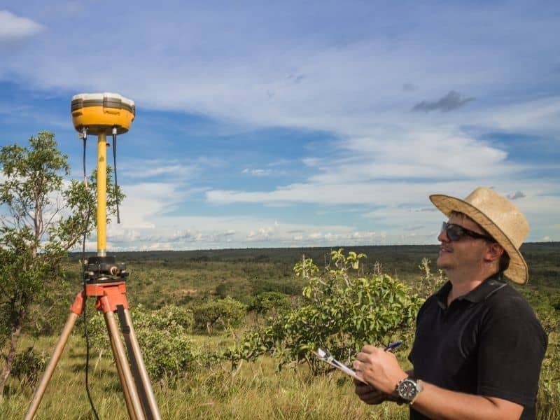
Grading a desert site starts with a question the flat horizon won’t answer: how does this ground really lie? What reads as level from a truck window often carries subtle grade shifts, dry channels and low pockets that change everything about the earthwork. A topographic survey answers that question with measured elevations, giving the grading team the real surface before blades ever touch dirt. Move earth on a bad guess and the corrections pile up fast. Move it on solid data and the plan holds.
Spot Surface Changes Across Dry Open Ground
Desert ground fools the eye into reading it as uniform. Across dry open terrain, small rises and dips blend into the wide view, hiding grade shifts that matter for earthwork. A survey measures the surface and spots those changes, so the grading plan starts from fact.
That accuracy shapes the whole operation. Earthwork built on an assumption of level ground runs into trouble the moment the real grades appear. Spotting the surface changes first keeps the plan on target.
Chart Washes and Low Areas That Shape Earthwork
Dry channels and low pockets steer how a desert site should be graded. These washes come alive in rare storms, and low areas collect water and affect where fill and cuts belong. A survey charts them, so the grading plan works with the drainage instead of against it.
That mapping guides real earthwork choices. Grading that ignores a wash invites water problems later, while grading that respects it holds up. Charting the low ground first keeps the plan sound.
Set Pad Elevations Before Equipment Arrives
A finished pad has to sit at the right height, and that decision rests on knowing the existing grades. A survey supplies the current elevations, so the team can set pad heights that balance cut and fill and drain properly. Getting those numbers before equipment shows up saves rework.
That planning keeps the earthwork efficient. A pad elevation chosen without good data may need adjusting once the grades reveal themselves, which wastes time and fuel. Setting the pad heights early keeps the operation lean.
Lay Out Haul, Access, and Work Zones Around Terrain
Grading takes room to operate. Haul routes, access paths and work zones all have to fit the terrain, and elevation data shows where movement flows and where it fights the ground. A survey lets the team lay those zones out sensibly before the work begins.
That layout keeps the operation practical. A haul route planned across a wash or a steep spot slows everything down, while one that follows workable ground keeps the earth moving. Laying out the zones around real terrain keeps the crew productive.
Help Engineers Balance Site Design With Natural Drainage
Good grading respects how water already moves. A survey gives engineers the surface data to design earthwork that balances the site plan against the land’s natural drainage. That balance keeps the graded site from creating problems it didn’t have before.
Working with the drainage pays off long after the crews leave. A site graded to fight the natural flow tends to trap water, while one graded to work with it stays dry. Balancing the design against the drainage keeps the finished site sound.
Frequently Asked Questions
Why is a desert site not always easy to grade?
Dry land can hide washes, slope changes and drainage patterns that don’t show up in a casual look. Those features affect where cuts and fills belong, so grading a desert site without measured elevations risks a plan that fights the ground.
Can a topographic survey help reduce earthwork changes?
Yes. It gives the team better elevation information before grading starts, which cuts down on the adjustments that come from discovering the real grades mid-job. Solid data up front means fewer corrections later.
Does desert grading require mapping low areas?
It benefits from it. Low areas affect drainage, pad placement and site preparation, so mapping them helps the grading plan account for water and elevation. Skipping that step risks grading into a wet spot.
Who uses topographic survey data before grading?
Engineers, contractors, developers and grading crews all use it. Each relies on the elevation picture to plan and carry out earthwork that fits the real surface.